No Strangers on a Train: OSINT Resources for Railways

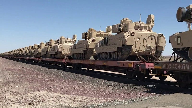
Rail may be a less exciting form of transportation for some but in fact, trains are incredibly integral to the supply chain. Freight railroads moved roughly14.5 million intermodal (from ship straight to rail for example) shipping containers in 2018 and these transports accounted for nearly a quarter of all U.S. freight rail revenue. Railroads have a large impact on the economy. Not only do they transport millions of passengers a day but they are also used to transport raw materials, parts, and products necessary for businesses to keep making products. Historically, the military also utilizes rail for sending shipments like large equipment, to ports for deployments and combat training centers for exercises.
OSINT use cases for researching and analyzing railways and passengers may be to prevent delays or derailments (which could affect military readiness or deployment) or to thwart terrorist activities. The DOJ recently released a report on “shunts” made of wire and magnets being placed on tracks in order to disable the crossing notifications or derail the train. Internationally, rail has also played a role in US sanctions on Russia as recently as 2020.
On the other hand, we may not need to track the shipments on a train but rather the passengers on board. In these cases, it is important to be familiar with the railroad companies running the trains, the routes they take, the stops they make, and how ticketing/scheduling works.
I have gathered a few of the OSINT resources for railroads and trains that I use frequently and I hope they help you in your investigations!
The Surface Transportation Board Railroad Map Depot
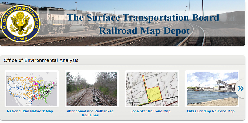
The Surface Transportation Board is an independent federal agency that is charged with the economic regulation of various modes of surface transportation. According to STB, the Map Depot is a “clearinghouse for past and ongoing cases before the Board.” The site provides access to a national rail network map as well as some more localized maps that all allow for layering the rail lines and saving your own images.
U.S. DoT FRA Safety Map
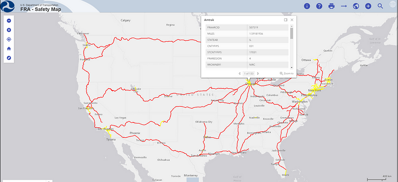
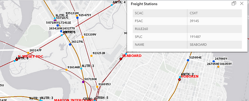
The Federal Railroad Administration (FRA) is the authoritative source of information on passenger and freight rail networks for the U.S. federal government. The FRA Safety map is an interactive map that shows Class I Railroads, Passenger Rail, Commuter Rail, and Amtrak. Users can change the map layers to show freight stations, grade crossings, and mileposts. You can also generate a custom report for crossing accidents here.
U.S. DoT FRA Trespasser Casualty Map
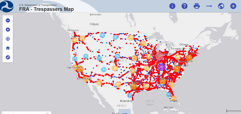
FRA also provides a Trespasser Casualty map which allows you to drill down into specific injuries or casualties that happened on the railways back to June 2011. Using this map you can also view where trespassing accidents and fatalities occur, trends, and details about the incident.
Amtrak Track A Train
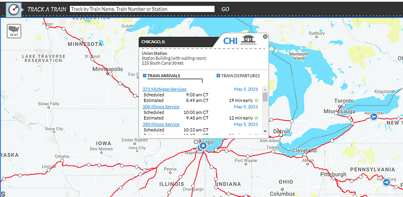
Track a Train provides detailed GPS information on the position of Amtrack trains in the United States. We can get up-to-date arrival/departure info including current speed and whether the train is on time or late. The site also has a search bar for tracking by train name, number, or station.
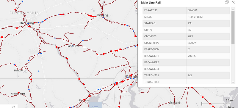
eia.gov
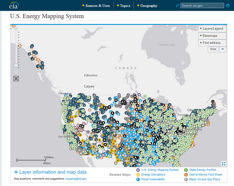
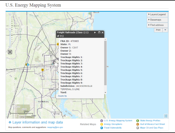
The U.S. Energy Information Administration (eia.gov) has a ton of useful maps for electric, coal, petroleum lines but if you zoom in close enough you can see information on railways. The popup will show who owns each section of track as well as trackage rights for that area.
Train Orders
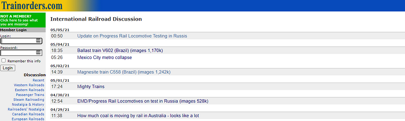
Train orders is a discussion/media sharing platform for people who love trains. The site boasts over 100,000 images of trains and 11,000 daily visitors to their discussion forums. In addition to U.S. based railways, Train Orders has forums for European, International, and Canadian train discussions. These forums seem to be pretty active so you might just luck out and find something good!
Railfan Atlas
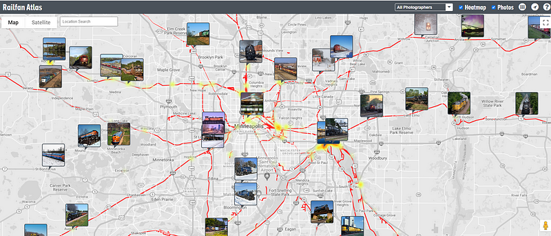
Railfan Atlas is a map/heatmap of images taken of trains and where they were located. Each photo is captioned with the name of the photographer and where and when the photo of the train was taken. This site could be useful for verification purposes.
ACWR Interactive Railroad Maps
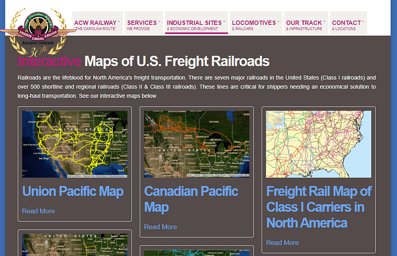
The Aberdeen, Carolina, & Western Railway Company (ACWR) is one of my favorite railroad resources. This site has 9 interactive maps of railroad lines in the United States and Canada as well as specs on the company’s fleet of trains, maintenance equipment, interchanges, and industrial buildings!
Open Railway Map
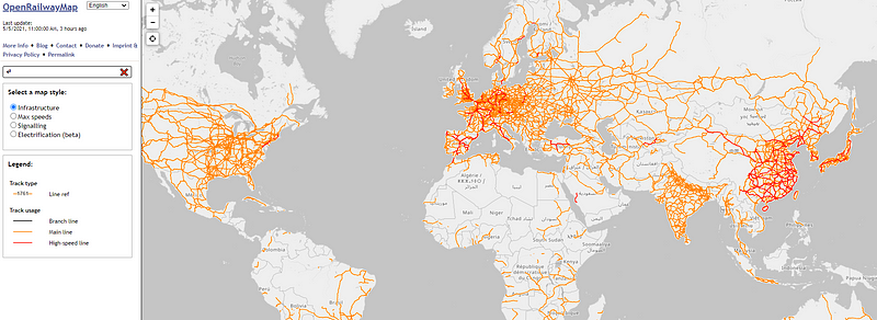
Open Railway Map is a great map with several different styles available including infrastructure, speed, signaling, and electrification. The difference between this map and the rest is that Open Railway has a ton of international railways.
Bureau of Transportation Statistics
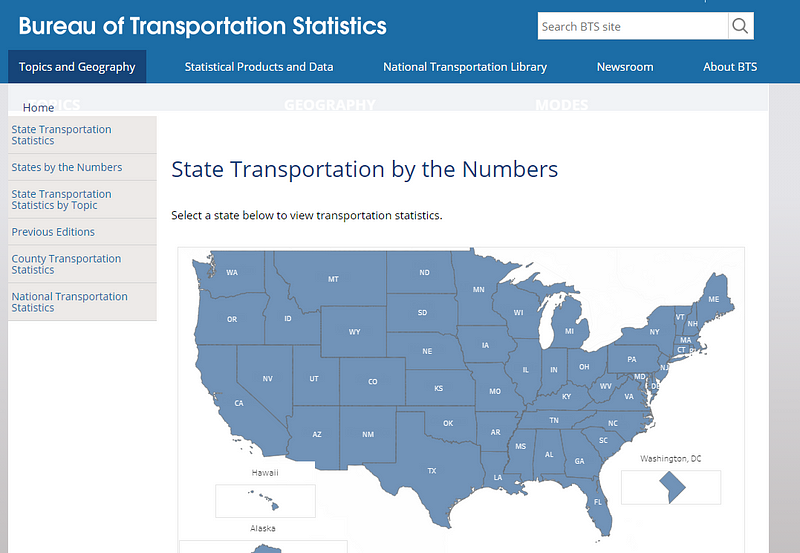
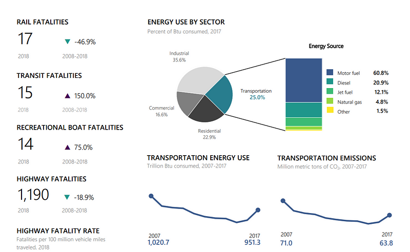
If you are a fan of statistics, BTS is a great site for state-specific statistics on transportation. The output is not only for rail but provides insight into all forms of transport data like energy use, fatalities, freight, and more.
Go Rail
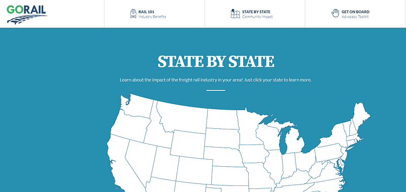
Go Rail is another state-by-state resource that provides data on the impact of the freight rail industry. Each state links to a page containing a fact sheet, policy issues, economic impact articles, rail supply companies, and advocates
TRAVIC Transit Visualization Chart
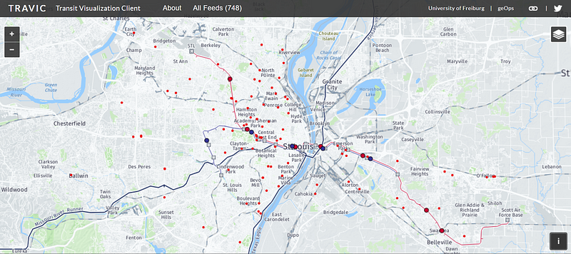
TRAVIC is an extremely cool visualization tool that allows you to see the real-time movements of trams, subways, rail, busses, ferries, and more. The chart shows transit heavily in North and South America, Europe, and Australia as well as some major cities in other countries.
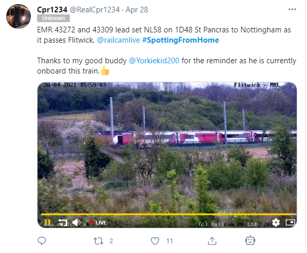
Railcam.uk
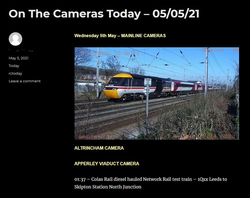
The Railcam site offers daily video feeds of railways within the UK. In addition to the videos, the site also maintains a hashtag (#SpottingFromHome) that people can use on Social Media to tag their sightings of trains. Twitter is a tremendous tool for tracking all forms of transportation. If you find yourself tracking several hashtags or users, do yourself a favor and set up a TweetDeck to monitor them all from one spot.
Railserve
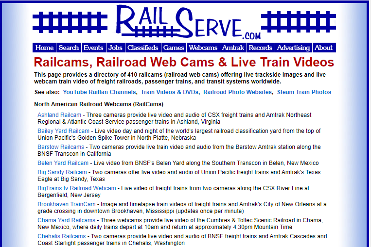
RailServe is another video/audio feed site but with over 400 railcams! Click on a link listing the location you need and now you have become a railfan.
Some Additional International Railway Maps
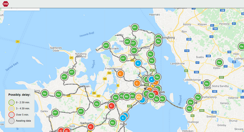
DSB Denmark
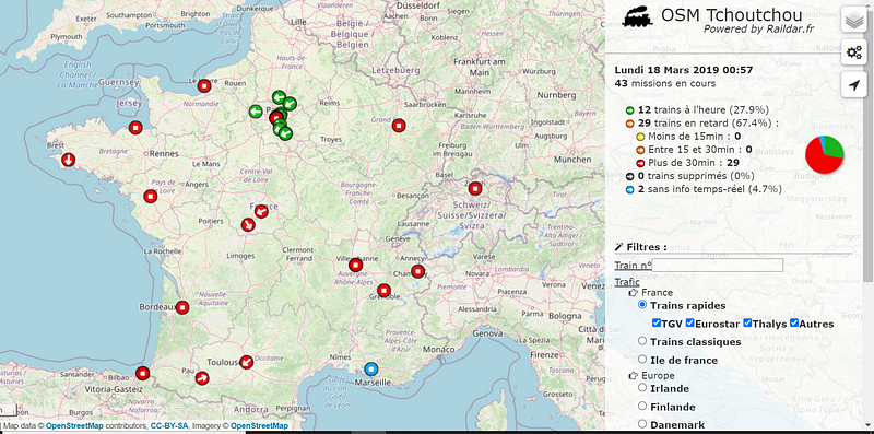
Raildar France
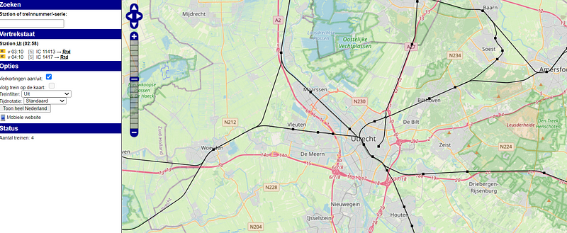
Spoorkaart Netherlands
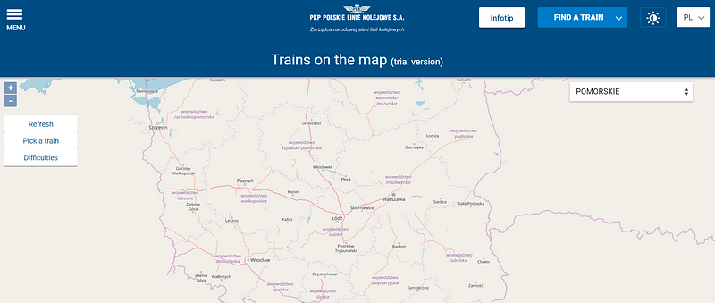
PortalPasazera Poland